Tianyi Sensor IOT Technology Co., Ltd
Sales Manager:Ms. Emily Wang
Cel,Whatsapp,Wechat:+86 15898932201
Email:info@fengtutec.com
Add:No. 155 Optoelectronic Industry Accelerator, Gaoxin District, Weifang, Shandong, China


Sales Manager:Ms. Emily Wang
Cel,Whatsapp,Wechat:+86 15898932201
Email:info@fengtutec.com
Add:No. 155 Optoelectronic Industry Accelerator, Gaoxin District, Weifang, Shandong, China
Model:FT-DSW3
Brand:tianyi
1.Introduction to Well Level Monitoring Products
Well Level Monitoring monitors your water level using submersible pressure sensors, providing real-time data on the water level in your well.DSW3 Well Level Monitoring is widely used in groundwater deep well water level measurement, mine deep well water level measurement, and geothermal well water level measurement.Its measurement range can reach 100 meters, 200 meters, 300 meters, and 400 meters.It is mainly based on the built-in sealing sensor chip of the high-pressure high underground deep well water level online monitoring system, integrated molding structure, and triple lightning protection process.The signal transmission uses tensile grip wire cable to ensure that the measured signal can display the output in real time, high-precision and stable.
According to the principle of hydrostatic pressure proportional to the water depth, Well Level Monitoring uses water pressure sensitive integrated components to make a sensor probe for deep well water level measuring instruments.When the sensor probe is fixed at a certain measurement point underwater, the pressure height of the water column above the measurement point plus the elevation of the point can indirectly measure the water level (the distance from the water surface to the wellhead); the direct measurement is the actual liquid level of the deep well above the sensor probe.
2.Product features of Well Level Monitoring
1.Reverse polarity protection and instantaneous overcurrent and overvoltage protection, comply with EMI protection requirements;
2.Use high-quality air conductor cables, which can be soaked in water all year round;
3.Strong overload and anti-interference ability, economical, practical and stable;
4.The core automatic correction algorithm is adopted to effectively prevent numerical fluctuations caused by water surface fluctuations;
5.The slope-type liquid conduction hole can effectively prevent silt impurities from entering and prevent impact.
6.Diffusion silicon piezoresistive sensor;
7.The probe input measurement method is simple and convenient to install;
8.Multiple protective structure design, high protection capability;
9.Use anti-corrosion stainless steel materials, suitable for a variety of occasions;
10.RS485 signal output, the maximum communication distance can reach 2000 meters;
11.10~30V wide power supply voltage input.
12.The inlay design of solar panel top cover improves the photoelectric conversion efficiency and increases the wind resistance level
13.Charging controller: MPPT automatic power point tracking, efficiency improvement by 20%
14.SMS alarm, send SMS to the specified mobile phone after exceeding the limit
15.Stainless steel protective box, corrosion-resistant and oxidation-resistant, waterproof grade IP66
3.Main technical parameters of Well Level Monitoring
| DC power supply (default) | DC 10-30V, typical 24V |
| Maximum power consumption | 0.2W |
| Transmitter components temperature resistance | -40℃~+80℃ |
| Overload capability | <1.5 times the range |
| Protection level | IP68 |
| Outer diameter dimensions | Ф26.8mm |
| Measuring media | Oil, water, etc.that are non-corrosive to stainless steel (long-term measurement requires ≤60℃) |
| Sampling time | 2400 times/s |
| Long-term stability | ±0.2%FS/year |
| 485 four-core shielded twisted pair wire | Standard 300 meters (supports customization) |
| Solar power | 30W, 20AH |
| Transport traffic | Comes with 3 years of traffic |
| Screen | 7-inch Android touch screen (optional) |
4.Introduction to Well Level Monitoring home computer software
1.Software for receiving, storing, viewing and analyzing PC stand-alone version of data
2.Support serial port data reception, processing and display
3.Support json strings, modbus485 and other communication methods
4.You can set the storage time yourself.You can set the acquisition time yourself in modbus485 acquisition mode
5.Support self-service addition, deletion, and modification of monitoring parameters protocols, names, icons, etc.
6.Support data post-processing function
7.Support external running of javascript scripts
5.Introduction to Well Level Monitoring Android APP
1.Android stand-alone version of data reception, storage, viewing and analysis software
2.Support Bluetooth data reception
3.The software background reception and processing after the mobile phone is dormant
4.Automatically add the device to json data, modbus device supports scanning code to add the device
5.Support historical data viewing, analysis, and export tables, support curve display and single data point viewing.
6.Support data post-processing function
7.Support external running of javascript scripts
6.Introduction to Well Level Monitoring Cloud Platform
1.CS architecture software platform, supports direct observation of mobile phones and PC browsers without additional software installation.
2.Support multiple accounts and multiple devices to log in
3.Support real-time data display and historical data display dashboard
4.Cloud server and cloud data storage are stable and reliable, easy to scale, and load balancing.
5.Support SMS alarm and threshold settings
6.Support map display and viewing device information.
7.Support data curve analysis
8.Support data export table form
9.Supports data forwarding, HJ-212 protocol, TCP forwarding, http protocol, etc.
10.Support data post-processing function
11.Support external running of javascript scripts
Dust Monitoring Equipment is a critical environmental monitoring device explicitly required by environmental protection authorities. Its core monitoring parameters include PM2.5 and PM10, while it also concurrently monitors meteorological factors such as wind speed, wind direction, temperature, and...
Present weather and visibility sensor employs the forward-scattering method to measure the total atmospheric extinction coefficient, thereby calculating visibility. It features a measurement range of 2 km and a resolution of 1 m, with measurement errors controlled in segments based on distance...
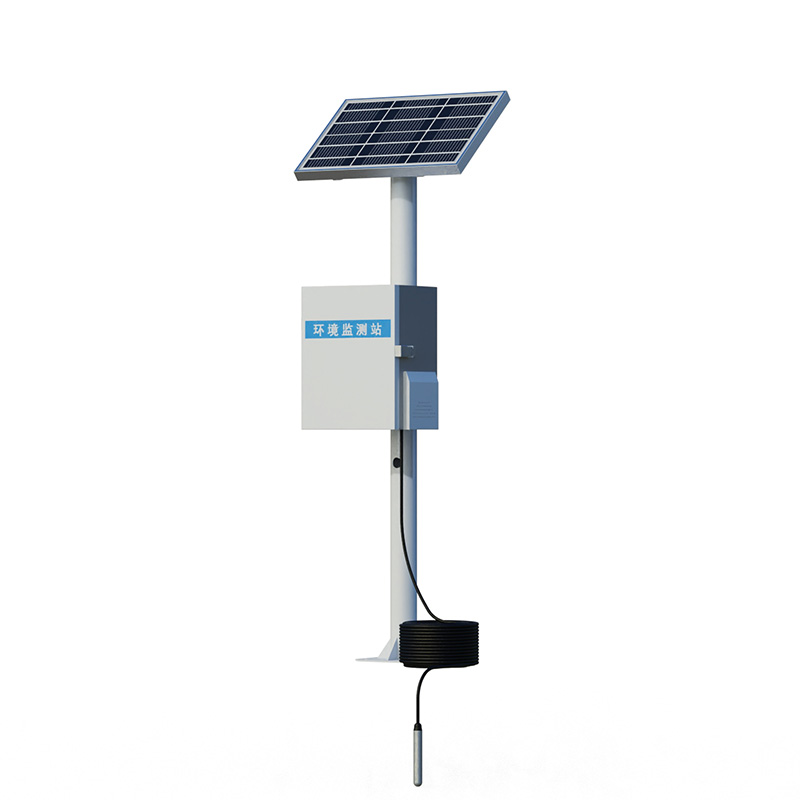
Meteorological and Environmental Monitoring Equipment is a highly integrated, low-power automated weather observation system capable of real-time monitoring of wind speed and direction, temperature and humidity, atmospheric pressure, optical rainfall, PM2.5, PM10, and various gaseous pollutant...
In high-risk industries such as chemical plants, production safety is not only crucial for business operations but also directly related to personnel safety and environmental protection. These locations often contain flammable and explosive gases or dust, where conventional weather monitoring equipm...


 Get a Free Quote
 Skype
Skype
 whatsapp
 mail
mail